No. 01 · The real-places issue38.72°N 9.14°WFree · No account
Natour: describe the trip, walk it
Describe the trip. Walk it. An AI planner that can't make places up: every stop is looked up on the map before it reaches yours.

Chapter 1 of 4 · Dream
Every trip starts as a daydream.
Tell Natour where, when and what you love, in a sentence, the way you'd tell a friend.
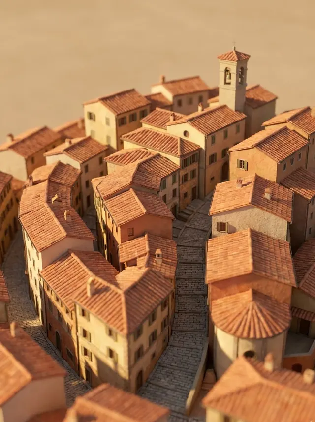
Illustration · not a photo of a real place
Chapter 2 of 4 · Plan
Postcards from places that exist.
Natour plans your days, then looks every suggestion up on OpenStreetMap inside your destination. Real places get a stamp with their coordinates. The rest never reach your map.
Viewpoint01
Miradouro da Senhora do Monte
The highest viewpoint in the city, best just before sunset.
38.72°N 9.13°W
Checked on OpenStreetMap at 38.72°N 9.13°WSight02
Castelo de São Jorge
Moorish walls above the Alfama, with peacocks and the river.
38.71°N 9.13°W
Checked on OpenStreetMap at 38.71°N 9.13°WRooftop bar—
Golden Sunset Rooftop, Alfama
Suggested by the AI. OpenStreetMap has never heard of it.
not on the map
Doesn't exist · dropped
Sight03
Praça do Comércio
The grand riverside square where the city meets the Tagus.
38.71°N 9.14°W
Checked on OpenStreetMap at 38.71°N 9.14°WFood04
Time Out Market Lisboa
Lunch with forty kitchens to choose from.
38.71°N 9.15°W
Checked on OpenStreetMap at 38.71°N 9.15°WFood05
Pastéis de Belém
The custard tarts, still warm, since 1837.
38.70°N 9.20°W
Checked on OpenStreetMap at 38.70°N 9.20°W
Chapter 3 of 4 · Go
Walk it, one stop at a time.
Each day becomes a walking route with the time between stops. Drag stops between days, lock the ones you love, ask for a rainy-day version.
- Day 1 · 1.7 km
- Easy
- Day 2 · 6.4 km
- Medium
- Day 3 · 11.1 km
- Hard
Chapter 4 of 4 · Remember
Keep the days you walked.
After the trip, notes and photos for each day sit next to the route you took. They stay on your device and never reach an AI.
Day 1 · Lisbon · May
Took the 28 tram up before the crowds. The view from the Senhora do Monte at five was worth every step, and the custard tarts were still warm at the bottom of the hill.

Where to next?
i.
Every place checked
Each stop is looked up on OpenStreetMap inside your destination and stamped with its coordinates. Made-up places are dropped.
ii.
One trip, one place
The plan, where to stay, what to pack and a rough budget all live in the same trip.
iii.
A journal that stays home
Notes and photos for each day, beside the route you walked. Never uploaded, never sent to an AI.
Explore
Start from a feeling.
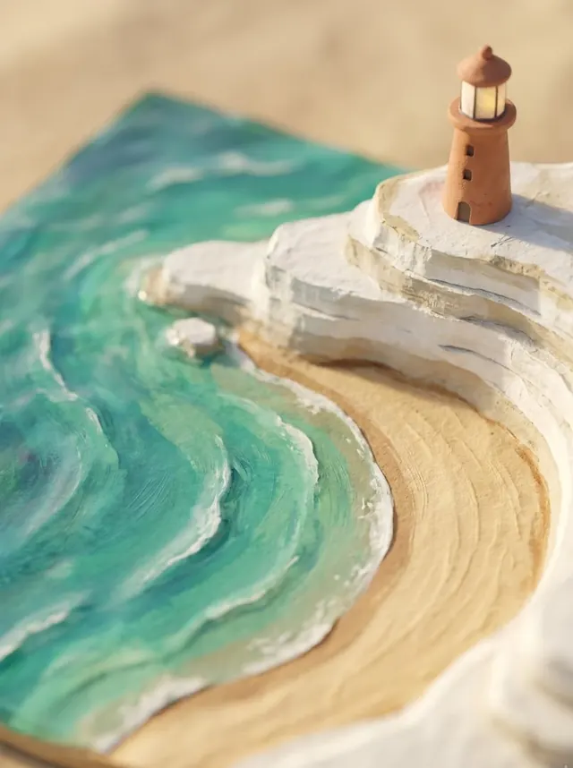




Mood pictures are illustrations, not real places.
Pricing
Free to plan.
Everything above is free, AI included. Pro adds trip sync, shared trips where friends vote on stops and PDF export, for all EW apps at once.
Pro · Monthly
$2 /month
Pro · Yearly
$15 /year
Pro · Lifetime
$29 once

Built by
Emmanuel Wilson
Designer-developer behind EWSTUDIOS. Come and say hello.